From Delays to Data: Successful Thermal Image Capture and Drone Collaboration
After a series of unexpected delays, we’re excited to share that our thermopile sensor is up and running! While still in the testing phases, we’re one big step closer to deploying a system that provides near-real time data on seal numbers and behaviour at the Ythan Estuary.
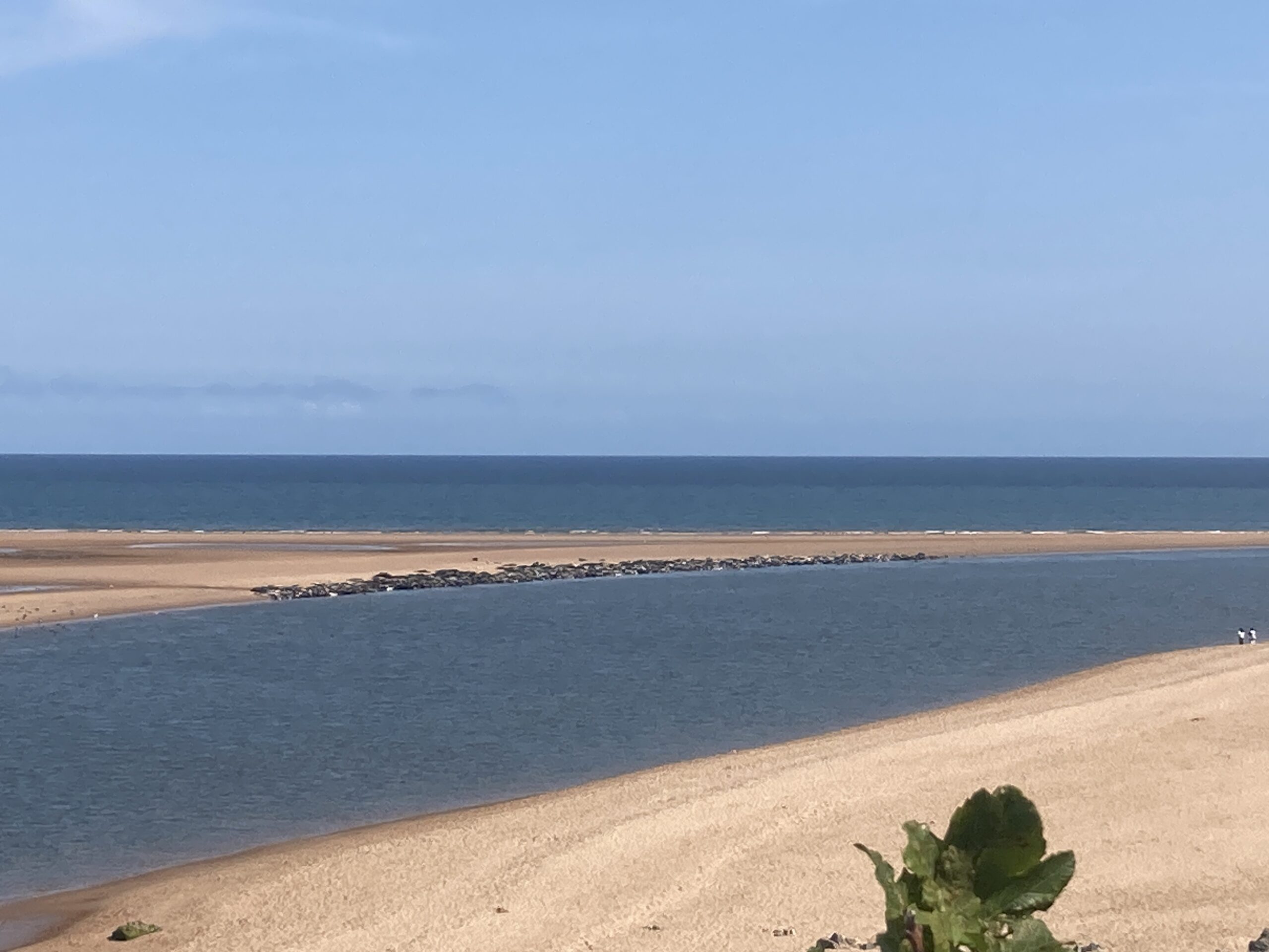
Our initial tests have shown promising results, with hauled-out seals visible in bright red/orange in the thermal imagery (below). We are currently in the process of comparing the thermal imagery to traditional colour images taken with a digital camera in order to develop an index of seal numbers.


We’ve also luckily been able to collaborate with a PhD student from Scotland’s Rural College (SRUC), Claire Stainfield, who is utilising drones to conduct aerial counts of the seals at the Ythan. Claire’s drone images are so high-quality that she can obtain precise counts of the number of individual seals at the haul-out. By comparing data from our systems with the drone footage, we will be able to calibrate and validate our counts more accurately. The image below was taken at the same time that the two images above were taken, and revealed a total of 1,019 hauled-out seals! Claire’s research is conducted under permit from NatureScot.

Looking ahead, we plan to continue testing and refining the system this with an eye toward starting a longer-term deployment this autumn. Stay tuned for more updates as we continue to fine-tune our system and gather valuable data on these remarkable marine mammals!